The best time to visit Vietnam depends on which part you are visiting, because the north, the central coast and the south have different wet seasons. If you want one window that works for a full north-to-south trip, the 30-year rainfall normals point to February, March and April. If you can only go in summer or autumn, choose your region by the month, not the other way round.
How we built this guide: we used World Meteorological Organization climate normals for 1991 to 2020 for Hanoi, Da Nang, Nha Trang and Ho Chi Minh City, storm-season guidance from the UK, Australian and Canadian governments, the 2027 lunar calendar and Vietnam's Tet rail rules, all checked on 2 October 2026. Price-season notes come from Lonely Planet. These are averages, not forecasts.
What is the weather like in each region?
Think of Vietnam as three climates rather than one.
North: Hanoi, Ha Long Bay, Ninh Binh and Sapa
The north has a real winter and a hot, wet summer. In Hanoi, average highs are 20.0°C in January and 33.8°C in June, and rain peaks in August at 335 mm (WMO Hanoi). October to December is the north's sweet spot: drier, with highs of about 22 to 30°C. Late winter and early spring are dry in total rainfall but often gray, with 12 to 18 rain days a month from February to April. The mountains around Sapa are colder again; see our Sapa guide.
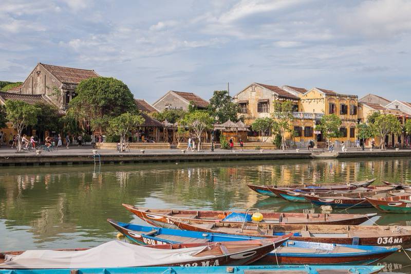
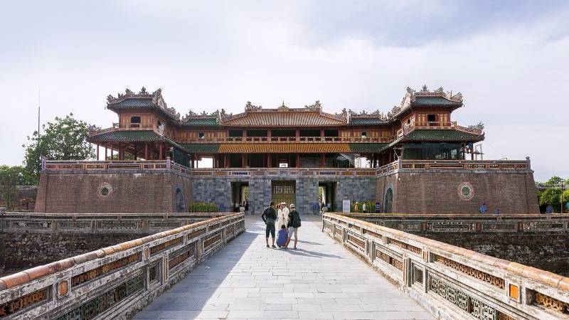
Center: Hue, Hoi An and Da Nang
The central coast flips the pattern. It is dry and hot from February to July, with Da Nang's highs reaching 34.9°C in June; rain builds in August and is very heavy from September to December. Da Nang averages 394 mm of rain in September, 658 mm in October, 486 mm in November and 272 mm in December (WMO Da Nang). Further south, Nha Trang follows the same autumn peak, with 325 mm in October and 400 mm in November (WMO Nha Trang). Our Hue and Hoi An guides have more on each town.
South: Ho Chi Minh City and the Mekong Delta
The south is hot all year, with average highs between 31.6 and 34.9°C, and has two seasons. December to April is dry, with 8 to 57 mm of rain a month, and May to October is wet, with 202 to 273 mm (WMO Ho Chi Minh City).
Month by month: where is the weather best?
This table uses WMO average daily highs and monthly rainfall for one city per region. "Good" means warm or mild with low rainfall for that region.
| Month | North (Hanoi): high, rain | Center (Da Nang): high, rain | South (Ho Chi Minh City): high, rain | Verdict |
|---|---|---|---|---|
| January | 20.0°C, 28 mm | 25.2°C, 83 mm | 32.0°C, 12 mm | South best; north cool and gray |
| February | 21.3°C, 19 mm | 26.3°C, 22 mm | 32.7°C, 8 mm | Dry everywhere; Tet 2027 on 6 February |
| March | 23.5°C, 55 mm | 28.4°C, 36 mm | 33.6°C, 18 mm | Good everywhere; drizzle in Hanoi |
| April | 27.7°C, 79 mm | 30.9°C, 50 mm | 34.5°C, 57 mm | Good everywhere; holiday peak 30 April to 1 May |
| May | 31.7°C, 188 mm | 33.4°C, 71 mm | 34.9°C, 202 mm | Center best; rains start north and south |
| June | 33.8°C, 231 mm | 34.9°C, 68 mm | 33.5°C, 224 mm | Center best, very hot |
| July | 33.3°C, 300 mm | 34.4°C, 92 mm | 33.0°C, 231 mm | Center best; peak flight prices |
| August | 32.5°C, 335 mm | 34.0°C, 167 mm | 32.9°C, 219 mm | Center still fair; north wettest |
| September | 31.6°C, 195 mm | 32.0°C, 394 mm | 32.6°C, 273 mm | Mixed everywhere; center's rains begin |
| October | 29.6°C, 126 mm | 29.6°C, 658 mm | 32.3°C, 240 mm | North good; avoid the center |
| November | 26.3°C, 48 mm | 27.7°C, 486 mm | 32.4°C, 128 mm | North best; south drying; center wet |
| December | 22.1°C, 24 mm | 25.3°C, 272 mm | 31.6°C, 41 mm | North cool and dry; south dry |
Sources: WMO Hanoi, WMO Da Nang, WMO Ho Chi Minh City. For a route that runs the length of the country, see our classic north to south itinerary.
When is typhoon and flood season?
Roughly May to December, with the central coast most exposed in autumn. The FCDO says tropical cyclones normally affect the east coast from May to November, though they can happen at other times, and that seasonal flooding hits central Vietnam in October and November and is also common around Hanoi's Red River and in the Mekong Delta. Smartraveller describes the storm season as June to November, and Canada gives June to December for typhoons and October to December for central flooding.
Storms disrupt transport as well as beaches. Baolau notes that the Rach Gia to Phu Quoc ferry may be interrupted in the storm months from July to October (Baolau), and floods and landslides can block mountain roads. If you travel in these months, keep a spare day and check the forecast before each leg.
When is Tet 2027 and how does it affect travel?
The Lunar New Year starts on Saturday 6 February 2027, according to the Hong Kong Observatory's 2027 lunar calendar, which marks it as the first day of the first lunar month in the Year of the Goat. Tet is Vietnam's biggest holiday, and Lonely Planet says it can feel like the whole country is on the move.
The busy period lasts weeks, not days. The national rail operator's Tet rules for 2027 cover journeys from 29 January to 17 February 2027 and deduct 30% of the fare for changes or refunds in the peak window, with requests needed at least 24 hours before departure (Railway Transport Joint Stock Company). Book trains, flights and buses early, and keep a closer eye on your bag, since the FCDO says petty crime rises around Tet.
| Period | What changes | Source |
|---|---|---|
| 29 January to 17 February 2027 | Tet rail rules: 30% deduction for changes or refunds | Railway Transport JSC |
| 6 February 2027 | First day of the Lunar New Year | Hong Kong Observatory |
| 30 April and 1 May | Reunification Day and International Workers' Day price spikes | Lonely Planet |
| July and August | Peak flight prices | Lonely Planet |
| December to March | Second price peak, driven by Phu Quoc and northern hiking | Lonely Planet |
When are prices and crowds highest?
In July and August, over Tet, and through the dry season in the north and on Phu Quoc. Lonely Planet says domestic flight prices peak in July and August, when the central coast is warmest, with another peak from December to March for Phu Quoc and the northwest's hiking trails. It also flags spikes around Reunification Day on 30 April, International Workers' Day on 1 May and Tet. Months outside those peaks, such as March and November, can balance weather and price.
When should I go for rice terraces?
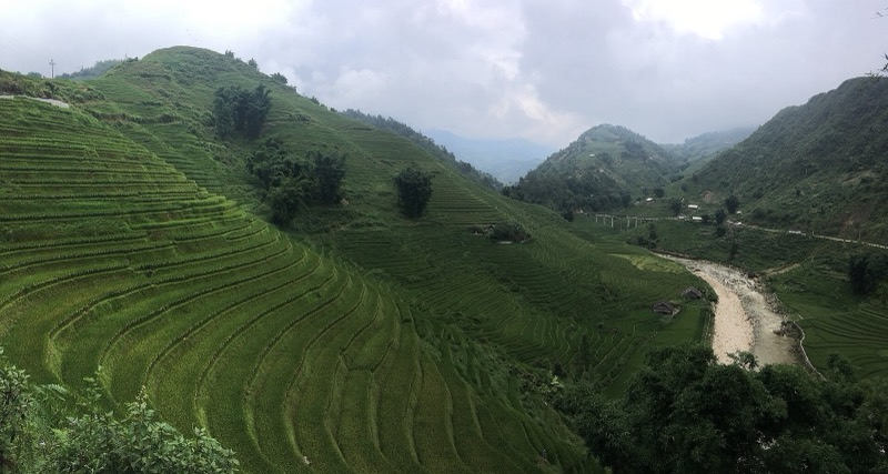
Just before harvest, when the rice turns gold. In Mu Cang Chai, local festivals are held during the rice harvest in early October, and the terraces in La Pan Tan, Che Cu Nha and Ze Xu Phinh have been a national heritage site since 2007 (Wikipedia). The hero photo above shows ripening rice there. Pair a terrace trip with the north's drier autumn weather.
Which months carry health or air-quality risks?
Two seasonal health factors are worth weighing. WHO's Viet Nam office says dengue peaks from June to October, with almost all cases in the center and south (WHO). Smartraveller says air pollution in major cities can be high, up to hazardous, especially from January to March. If either matters to you, see our packing guide for what to bring.
Key facts at a glance
- Da Nang averages 658 mm of rain in October and 486 mm in November, its two wettest months (WMO).
- Ho Chi Minh City's dry season runs December to April, with 8 to 57 mm of rain a month (WMO).
- Tropical cyclones normally affect the east coast from May to November (FCDO).
- Tet 2027 begins on Saturday 6 February 2027 (Hong Kong Observatory).
- Tet rail rules for 2027 apply from 29 January to 17 February (Railway Transport JSC).
Limitations
Climate normals describe 30-year averages, and any given month can bring a storm, a cold snap or a heatwave, so check the forecast a week out and again the day before each journey. One city stands in for each region in our table, and mountain areas such as Sapa are much cooler than Hanoi. The Tet 2027 date comes from the Hong Kong Observatory's lunar calendar, and we did not find Vietnam's official 2027 public-holiday schedule, so confirm closures nearer the time. Price peaks come from Lonely Planet's reporting rather than fare data.